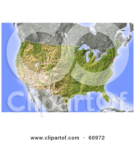
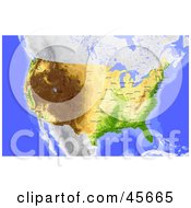
Royalty-free (RF) Clipart Illustration of a Shaded Relief Map Of The United States by Michael Schmeling
Royalty-free clipart picture of a shaded relief map of the United States. Colored according to natural appearance, with major urban areas. Includes clip paths for the state boundary and land areas. Projection: Lambert Azimuthal Equal-Area -100/40; Geographic extents: W: -125; E: -55; S: 20; N: 50 by Michael Schmeling, COLLC0128. This image is protected by copyright law and may not be used without a license. No free use allowed. #COLLC60972 |
Clipart Collections
![]() | Save Up To 95% By Purchasing My Clipart In A Collection
|
Similar Map Stock Illustrations
- Shaded Relief Map Of The State Of California
- Shaded Relief Map Of The State Of Florida
- Shaded Relief Map Of The State Of Arizona
- Shaded Relief Map Of The State Of Alaska
- Shaded Relief Map Of The State Of Colorado
- 3d Textured Globe With Golden Continents Featuring America
- Green And Yellow Radar Map Scanning The Continents
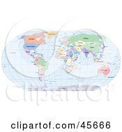
- Political World Map Showing Different Colored Countries And Continents And Blue Seas
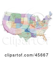
- Colorful Road Map Showing The Connecting Highways And Continental States Of The USA
- Blazing World Map
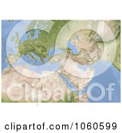
- 3d Shaded Relief Map Of Europe North Africa And Near East
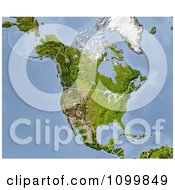
- Shaded Relief Map Of North America With The National Borders
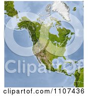
- Shaded Relief Map Of North America With United States And Canada State And Provincial Borders
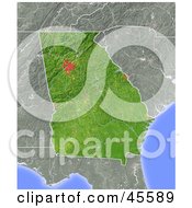
- Shaded Relief Map Of The State Of Georgia
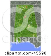
- Shaded Relief Map Of The State Of Alabama
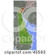
- Shaded Relief Map Of The State Of Delaware
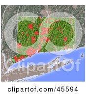
- Shaded Relief Map Of The State Of Connecticut
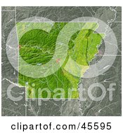
- Shaded Relief Map Of The State Of Arkansas
- Light And Dark Blue Globe
- 3d Textured Globe With Golden Continents Featuring Asia
- 3d Textured Hammer Projection Globe Featuring America
- Wheat Framing The Green Earth On A Yellow Background
- Shaded Contour Map Of The United States And Surrounding Oceans
- Shaded Relief Map Of The State Of Nevada
- Shaded Relief Map Of North America As Seen From Space
- Shaded Relief Map Of The Hawaiian Islands
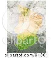
- Shaded Relief Map Of Chad
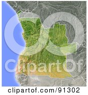
- Shaded Relief Map Of Angola
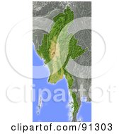
- Shaded Relief Map Of Burma Myanmar
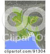
- Shaded Relief Map Of Bangladesh
more Map Clip Art
Keywords
America, Art, Artwork, Artworks, Atlas, Border, Cartographic, Cartography, Cartoon, Cartoons, Cartoony, Chart, Clip Art, Clipart, Cliparts, Designs, Digital, Drawing, Drawings, Geography, Graphics, Graphics Design, Icons, Illustrated, Illustration, Illustrations, Image, Images, Logos, Map, Picture, Pictures, Printables, Relief, Relief Map, Relief Maps, Rendered, Renderings, Renders, Royalty-Free, Stock Art, Stock Illustrations, Terrain, Toon, Toons, Topographic, Topography, United States, United States Map, Us, Usa, Usa Map,