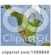
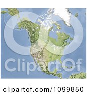
Clipart Shaded Relief Map Of North America With United States And Canada State And Provincial Borders - Royalty Free CGI Illustration by  Michael Schmeling
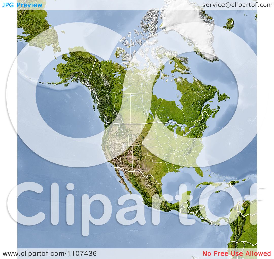
Image © 2024 Michael Schmeling
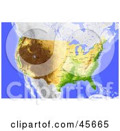
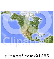
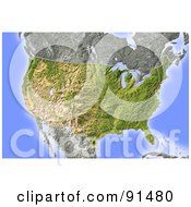
Royalty free clipart illustration of a shaded relief map of North America with United States And Canada state and provincial borders. Colored according to natural appearance. Projection: Lambert Conic Conformal -110/35/33/45; Geographic extents: W: -143; E: 6; S: -5; N: 60
Stock Clipart ID: #COLLC1107436-0128
Please note: This image is protected by copyright law and can not be legally used without purchasing a license.
Common questions
- How do I access my image download area?
- Are watermarks removed from the image after checkout?Yes
Related Searches
- 3d
- America
- Atlas
- Border
- Canada
- Cartographic
- Cartography
- Cgi
- Geography
- Hill Shading
- Map
- Map Of North America
- Mexico
- North America
- North America Map
- Provincial Borders
- Render
- State Borders
- Terrain
- Topographic
- Topography
- United States
- Usa