Free
Clip Art
Collections
New
Featured
Contact
Download area
Cart (
0
)
Royalty-Free (RF) Cartographic Clipart & Illustrations #6
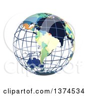
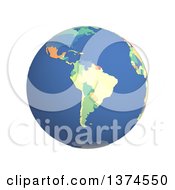
3d Political Wire Globe with Colored and Extruded Countries, Centered on South America, on a White Background #1374534
by
Michael Schmeling
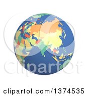
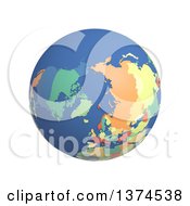
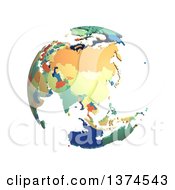
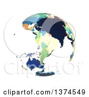
3d Political Globe with Colored and Extruded Countries, Centered on India, on a White Background #1374535
by
Michael Schmeling
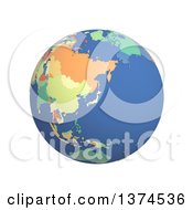
3d Political Globe with Colored and Extruded Countries, Centered on Japan, on a White Background #1374536
by
Michael Schmeling
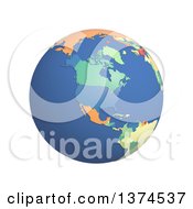
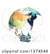
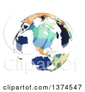
3d Political Globe with Colored and Extruded Countries, Centered on North America, on a White Background #1374537
by
Michael Schmeling
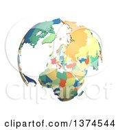
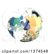
3d Political Globe with Colored and Extruded Countries, Centered on the North Pole, on a White Background #1374538
by
Michael Schmeling
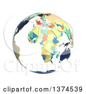
Political Globe with Colorful 3d Extruded Countries, Centered on Africa, on a White Background #1374539
by
Michael Schmeling
Political Globe with Colorful 3d Extruded Countries, Centered on Antarctica, on a White Background #1374541
by
Michael Schmeling
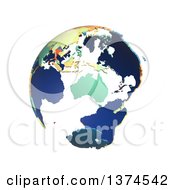
Political Globe with Colorful 3d Extruded Countries, Centered on Australia, on a White Background #1374542
by
Michael Schmeling
Political Globe with Colorful 3d Extruded Countries, Centered on China, on a White Background #1374543
by
Michael Schmeling
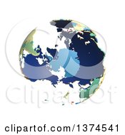
Political Globe with Colorful 3d Extruded Countries, Centered on Europe, on a White Background #1374544
by
Michael Schmeling
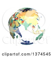
Political Globe with Colorful 3d Extruded Countries, Centered on India, on a White Background #1374545
by
Michael Schmeling
Political Globe with Colorful 3d Extruded Countries, Centered on Japan, on a White Background #1374546
by
Michael Schmeling
Political Globe with Colorful 3d Extruded Countries, Centered on North America, on a White Background #1374547
by
Michael Schmeling
Political Globe with Colorful 3d Extruded Countries, Centered on South America, on a White Background #1374549
by
Michael Schmeling
Political Globe with Colorful 3d Extruded Countries, Centered on North Pole, on a White Background #1374548
by
Michael Schmeling
3d Political Globe with Colored and Extruded Countries, Centered on the South America, on a White Background #1374550
by
Michael Schmeling
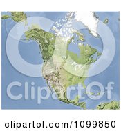
Shaded Relief Map of North America #1099850
by
Michael Schmeling
3d Shaded Relief Map of the Falkland Islands #1095560
by
Michael Schmeling
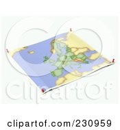
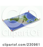
Unfolded Map Sheet of Asia with Thumbtacks #230956
by
Michael Schmeling
Unfolded Map Sheet of Europe with Thumbtacks #230957
by
Michael Schmeling
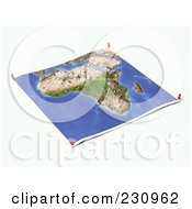
Unfolded Map Sheet of the European Union with Thumbtacks #230959
by
Michael Schmeling
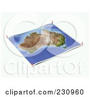
Unfolded Map Sheet of Australia with Thumbtacks #230960
by
Michael Schmeling
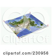
Unfolded Map Sheet of North America with Thumbtacks #230961
by
Michael Schmeling
Unfolded Map Sheet of Africa with Thumbtacks #230962
by
Michael Schmeling
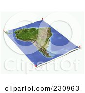
Unfolded Map Sheet of South America with Thumbtacks #230963
by
Michael Schmeling
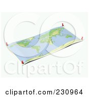
Unfolded Wold Map Sheet with Thumbtacks #230964
by
Michael Schmeling
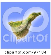
Shaded Tenerife Relief Map #97184
by
Michael Schmeling
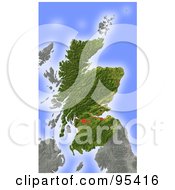
Shaded Scotland Relief Map #97185
by
Michael Schmeling
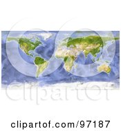
Water Color Styled World Map #97187
by
Michael Schmeling
Shaded Relief Map of Scotland #95416
by
Michael Schmeling
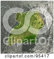
Shaded Relief Map of Uganda #95417
by
Michael Schmeling
3d Globe, Centered on Africa, As Seen from Space, on Black #93560
by
Michael Schmeling
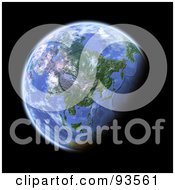
3d Globe, Centered on Asia, As Seen from Space, on Black #93561
by
Michael Schmeling
3d Globe, Centered on the near East, As Seen from Space, on Black #93562
by
Michael Schmeling
3d Globe, Centered on the South Pole, As Seen from Space, on Black #93563
by
Michael Schmeling
3d Globe, Centered on the North Pole, As Seen from Space, on Black #93565
by
Michael Schmeling
3d Globe, Centered on South America, As Seen from Space, on Black #93566
by
Michael Schmeling
Shaded Relief Map of the State of Tennessee #60955
by
Michael Schmeling
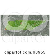
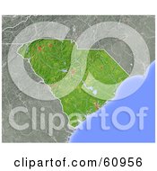
Shaded Relief Map of the State of South Carolina #60956
by
Michael Schmeling
Shaded Relief Map of the State of North Carolina #60957
by
Michael Schmeling
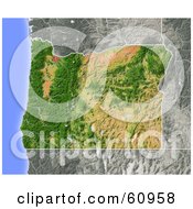
Shaded Relief Map of the State of Oregon #60958
by
Michael Schmeling
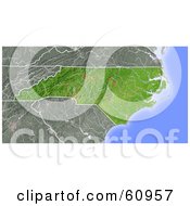
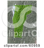
Shaded Relief Map of the State of Vermont #60959
by
Michael Schmeling
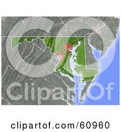
Shaded Relief Map of the State of Maryland #60960
by
Michael Schmeling
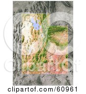
Shaded Relief Map of the State of Utah #60961
by
Michael Schmeling
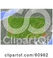
Shaded Relief Map of the State of Pennsylvania #60962
by
Michael Schmeling
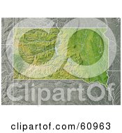
Shaded Relief Map of the State of South Dakota #60963
by
Michael Schmeling
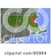
Shaded Relief Map of the State of Massachusetts #60964
by
Michael Schmeling
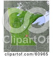
Shaded Relief Map of the State of Minnesota #60965
by
Michael Schmeling
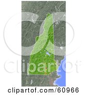
Shaded Relief Map of the State of New Hampshire #60966
by
Michael Schmeling
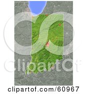
Shaded Relief Map of the State of Indiana #60967
by
Michael Schmeling
«
Previous
Next
»
1
2
3
4
5
6
7
Verify Captcha to Proceed
Submit
Please submit one alphabet letter to prove you are not a robot crawler.