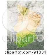
Royalty-Free (RF) Clipart Illustration of a Shaded Relief Map Of Faroe Islands by  Michael Schmeling
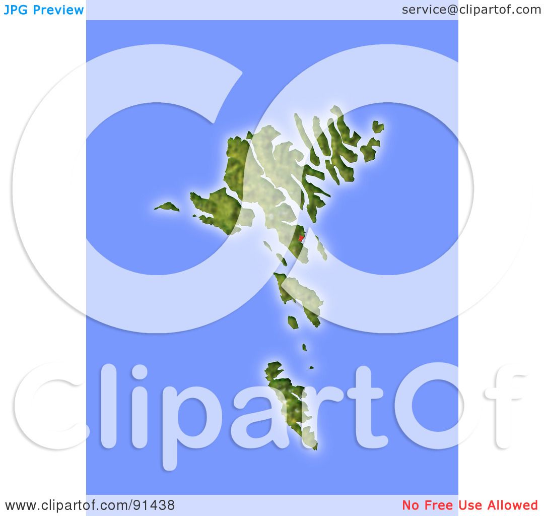
Image © 2024 Michael Schmeling
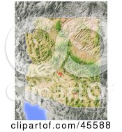
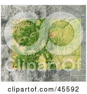
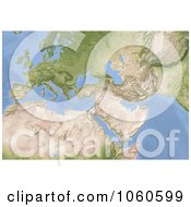
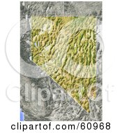
Royalty-free clipart picture of a shaded relief map of Faroe Islands. Colored according to natural appearance, with major urban areas. Includes clip paths for the land areas. Projection: Mercator ; Geographic extents: W: -8.1; E: -5.8; S: 61.2; N: 62.7
Stock Clipart ID: #COLLC91438-0128
Please note: This image is protected by copyright law and can not be legally used without purchasing a license.
Common questions
- How do I access my image download area?
- Are watermarks removed from the image after checkout?Yes
Related Searches
- Atlas
- Border
- Cartographic
- Cartography
- Denmark
- Europe
- Faeroe
- Faroe Islands
- Faroe Islands Map
- Geography
- Hill Shading
- Island
- Map
- Relief Map
- Terrain
- Topographic
- Topography