Free
Clip Art
Collections
New
Featured
Contact
Download area
Cart (
0
)
Royalty-Free (RF) Cartography Clipart & Illustrations #6
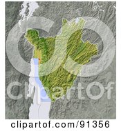
Shaded Relief Map of Burundi #91356
by
Michael Schmeling
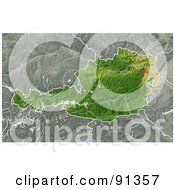
Shaded Relief Map of Austria #91357
by
Michael Schmeling
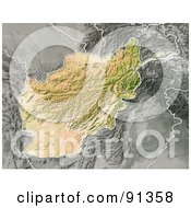
Shaded Relief Map of Afghanistan #91358
by
Michael Schmeling
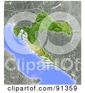
Shaded Relief Map of Croatia #91359
by
Michael Schmeling
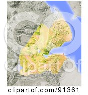
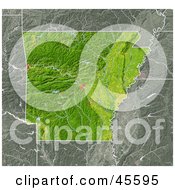
Shaded Relief Map of Burkina Faso #91360
by
Michael Schmeling
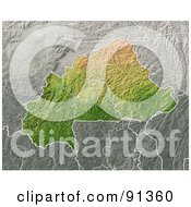
Shaded Relief Map of Djibouti #91361
by
Michael Schmeling
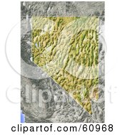
Shaded Relief Map of the State of Nevada #60968
by
Michael Schmeling
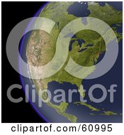
Shaded Relief Map of North America As Seen from Space #60995
by
Michael Schmeling
Shaded Relief Map of the Hawaiian Islands #61000
by
Michael Schmeling
3d Globe with Floating Orange Continents and Black Oceans #45936
by
chrisroll
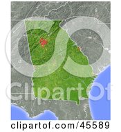
Shaded Relief Map of the State of Georgia #45589
by
Michael Schmeling
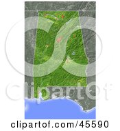
Shaded Relief Map of the State of Alabama #45590
by
Michael Schmeling
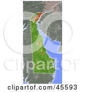
Shaded Relief Map of the State of Delaware #45593
by
Michael Schmeling
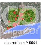
Shaded Relief Map of the State of Connecticut #45594
by
Michael Schmeling
Shaded Relief Map of the State of Arkansas #45595
by
Michael Schmeling
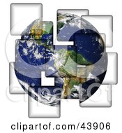
Planet Earth Being Separated onto Different Pieces #43906
by
Arena Creative
Shiny Blue Education Subject Icons #40360
by
AtStockIllustration
Wave of Financial and Payment Term Text over Lines on a Blue Atlas #34298
by
Eugene
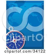
Compass in the Lower Corner of a Blue Atlas #34122
by
Maria Bell
3d Rendered Globe, Grids and Atlas Map in Red and Orange #30850
by
Tonis Pan
3d Rendered Navy Blue Grid Globe in Front of a Flat Atlas Map #30863
by
Tonis Pan
Unwrapped Blue Grid Map of Planet Earth Showing the Continents, over a Blue Background #28895
by
Tonis Pan
Unwrapped Green Grid Map of Planet Earth Showing the Continents, over a Green Background with Grids on the Top and Bottom #28896
by
Tonis Pan
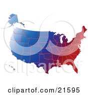
Gradient Red White and Blue Mape of All of the United States #21595
by
Tonis Pan
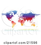
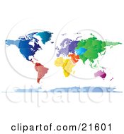
Map of the Continents of the Earth with Borders of the Countries in Colorful Gradient Colors #21596
by
Tonis Pan
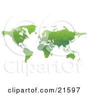
Map of the Continents of Planet Earth with Borders of the Countries in Green Tones #21597
by
Tonis Pan
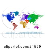
Colorful Map of the Continents and Countries of the Earth in Blue, Green, Red, Orange and Purple #21599
by
Tonis Pan
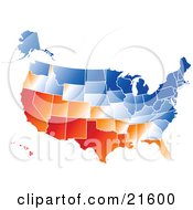
Gradient Red, Orange, White and Blue United States of America Map with All States, on a White Background #21600
by
Tonis Pan
Map of the Continents and Borders of the Countries of the Earth in Colorful Tones #21601
by
Tonis Pan
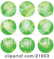
Nine Green Global Views of the Different Continents of Planet Earth #21603
by
Tonis Pan
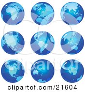
Nine Global Views of the Different Continents on Planet Earth in Blue Tones #21604
by
Tonis Pan
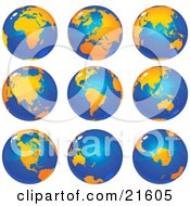
Nine Views of the Continents on Planet Earth in Orange and Tones #21605
by
Tonis Pan
Blue Pixelated Map #11873
by
AtStockIllustration
Red Map of the Americas and Europe #11656
by
AtStockIllustration
Purple Map of the Americas and Europe #11657
by
AtStockIllustration
Green Map of the Americas and Europe #11692
by
AtStockIllustration
Compass Rose Symbol Icon #1782933
by
AtStockIllustration
Antique Compass Rose #1762297
by
Vector Tradition SM
Antique Compass Rose #1762298
by
Vector Tradition SM
Antique Compass Rose #1762299
by
Vector Tradition SM
Antique Compass Rose #1762300
by
Vector Tradition SM
Antique Compass Rose #1762301
by
Vector Tradition SM
Antique Compass Rose #1762302
by
Vector Tradition SM
Antique Compass Rose #1762303
by
Vector Tradition SM
Antique Compass Rose #1762304
by
Vector Tradition SM
Antique Compass Rose #1762305
by
Vector Tradition SM
Antique Compass Rose #1762306
by
Vector Tradition SM
Antique Compass Rose #1762307
by
Vector Tradition SM
Antique Compass Rose #1762308
by
Vector Tradition SM
Kids Geography Elements House Illustration #1737530
by
BNP Design Studio
«
Previous
Next
»
1
2
3
4
5
6
7
8
9
10
11
12
Verify Captcha to Proceed
Submit
Please submit one alphabet letter to prove you are not a robot crawler.