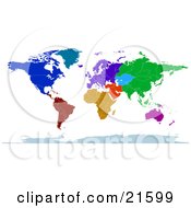
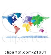
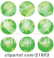
Clipart Illustration Graphic of a Map Of The Continents Of Planet Earth With Borders Of The Countries In Green Tones by  Tonis Pan

Image © 2024 Tonis Pan
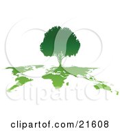
Royalty-free full-color geography clipart picture of a map of the continents of planet earth with borders of the countries in green tones, on a white background.
Stock Clipart ID: #COLLC21597-0042
Please note: This image is protected by copyright law and can not be legally used without purchasing a license.
Common questions
- Can I get this image customized?We can do minor changes to this image. Contact customer service for a quote.
- Do you offer discounts?Yes. Save by purchasing this image in the discounted collection (You get 59 illustrations).
Green Nature - How do I access my image download area?
- Are watermarks removed from the image after checkout?Yes
Related Searches
- Africa
- Alaska
- America
- Asia
- Australia
- Borders
- Brazil
- Canada
- Cartography
- China
- Countries
- Earth
- Environment
- Environmental
- Europe
- Finland
- Geography
- Germany
- Green
- Iran
- Iraq
- Japan
- Map
- Mexico
- Middle East
- Norway
- Russia
- Sweden
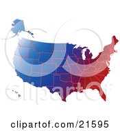
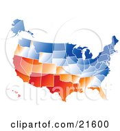
- Usa
- Ussr
- Vector
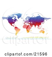
- World